Introduction
A buyer visits a Dholera property, checks the documents and then asks for the plot to be measured on the ground. The registered deed mentions one area, the seller’s layout appears to show another and the physical boundary does not seem to match either one exactly.
This is a Dholera plot area mismatch, and it should not be solved by choosing whichever measurement looks most convenient.
A difference can arise for several reasons. The buyer may be comparing different records, an old survey reference may have changed, a private layout may not match the Government survey record, boundary points may not be clearly visible on site, or a Town Planning Scheme may have changed the relevant parcel identity.
The correct response is to stop treating the issue as a price negotiation and first establish what each document actually represents.
Gujarat’s official land-record framework gives the District Inspector Land Records, or DILR, responsibility for functions including field measurement, measurement in disputed cases and survey-related record work. The Revenue Department also currently provides an online application specifically for measurement of a survey-number boundary, share or part.
A fresh measurement can provide important evidence. It does not, however, automatically rewrite a registered deed, correct title or approve a private layout.
That distinction is central to this guide.
What Exactly Is Mismatching?
Before asking someone to measure the land again, identify which numbers are inconsistent.
A buyer may actually be comparing several different things:
These figures do not always describe the same legal unit.
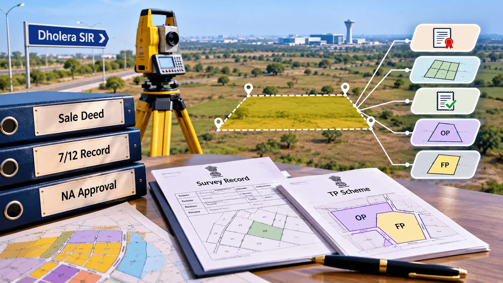
For example, the total area of a survey number should not automatically be compared with the area of one privately numbered plot inside that survey number. Similarly, an Original Plot and a reconstituted Final Plot can represent different stages of the planning process.
The first question in a Dholera boundary survey discrepancy is therefore not, “Which number is correct?”
It is, “What parcel does each number describe?”
A Hypothetical Dholera Mismatch Case
Consider a hypothetical example.
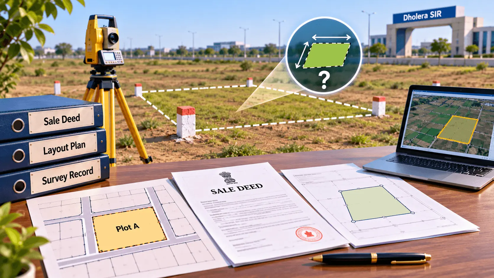
A buyer is considering a land parcel marketed as Plot A. The seller says the plot measures 1,000 square metres.
The registered title document also refers to approximately 1,000 square metres, but the marketing layout shows dimensions that appear to produce a slightly different area. During a preliminary site check, the visible boundary points suggest that the usable enclosed area may be smaller again.
At this point, the buyer should not immediately conclude that land is missing.
The first step is to compare the underlying records.
Perhaps the private layout dimensions were rounded. Perhaps the boundary stone being used on site belongs to an adjoining parcel. Perhaps part of the measurement relates to a road or common area. Perhaps the Government survey identity differs from the seller’s internal plot number.
Or there may genuinely be a discrepancy that needs formal resolution.
Until those possibilities are checked, the buyer does not yet know what caused the difference.
Which Documents Should Be Compared First?
A meaningful investigation needs more than a sale brochure and a tape measurement.
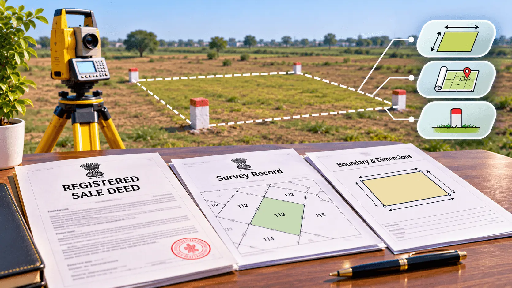
Start with the registered transaction document because it identifies what the seller claims to have transferred or proposes to transfer.
Then compare the relevant Government land and survey records.
Depending on the property, useful records can include:
Gujarat Revenue Department material describing the land-record system identifies DILR functions as including land survey and maintenance of records such as village maps, Tippans, measurement sheets, Akaar Bandh and Durusti Patra/KJP.
These records are more useful for boundary verification than relying only on a private sales map.
Why the Registered Deed Alone May Not Solve the Boundary Question
The registered deed is extremely important, but a written area figure does not physically identify every corner on the ground by itself.
The deed may refer to a survey number, boundaries, dimensions, share or particular portion of a larger landholding. Those descriptions then need to be compared with the survey records and the actual parcel.
A buyer should particularly watch for differences between:
Area: the total extent stated for the property.
A document may contain an area figure that appears correct while one of the boundary descriptions no longer matches the current physical situation.
Conversely, visible fencing may have shifted even though the Government survey record has not.
This is why physical possession and documentary description should be checked together.
Who Should Verify the Physical Boundary?
For an initial review, a competent survey professional can help identify whether the site appears to match the available plans.
But where the issue affects an official survey boundary, land-record discrepancy or disputed measurement, buyers should use the competent Government land-record mechanism rather than relying only on a private measurement.
Ahmedabad District officially lists the District Inspector Land Records as responsible for activities including measuring fields, measuring disputed cases and record work based on measurement.
The Gujarat Revenue Department’s iORA service also currently lists an application specifically for:
Measurement relating to the boundary, share or part of a survey number.
That provides an official route where a formal land measurement is required.
For Dholera revenue matters,
Ahmedabad District also maintains a separate Mamlatdar Office for Dholera within the district administration.
The exact authority involved can depend on whether the issue is purely survey measurement, a revenue-record discrepancy, a mutation issue or a planning/TP matter.
What Does an Official Measurement Establish?
An official measurement can help establish how the parcel relates to Government survey records and where the relevant boundary or measured part lies according to the applicable survey process.
That can be powerful evidence.
But buyers should not assume:
New measurement = automatic correction of every document.
Suppose an official measurement shows that the ground position differs from what a private layout indicates.
That may establish that the private plan needs investigation.
It does not automatically rewrite the sale deed.
Likewise, if the deed contains a material error, the solution may involve legal documentation rather than merely changing a revenue map.
If the survey record itself requires correction, the appropriate revenue or land-record process may need to be followed.
If adjoining owners dispute the boundary, the matter may require a different procedure again.
Measurement identifies facts on the ground and in the survey framework. The legal consequence still depends on the source of the discrepancy.
Government Survey Record Versus Private Layout
This is particularly important in plotted property transactions.
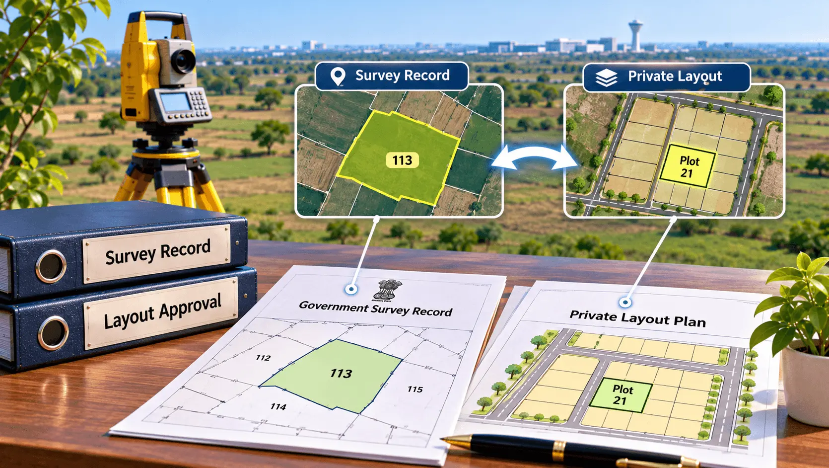
A developer or seller may use internal plot numbers such as Plot 21, Plot 22 or Plot 23. Those numbers can help buyers understand a project layout, but they should not automatically be confused with Government survey numbers, block numbers or Final Plot numbers.
Before payment, ask:
A private layout can be useful, but it should be traceable back to the relevant official land and approval records.
If the private plan and Government record do not align, the mismatch should be explained in writing before the buyer proceeds.
What If the Land Is Inside a Town Planning Scheme?
A Dholera property can require an additional layer of checking where a Town Planning Scheme applies.
In that situation, the buyer should establish whether the document refers to the original survey parcel, an Original Plot, a Final Plot or a private subdivision of a Final Plot.
Those identifiers should not be treated as interchangeable.
A Town Planning process can alter the shape, area, road frontage or location of the parcel returned to the landholder. Therefore, comparing an old survey map directly with a later Final Plot without understanding the planning stage can produce an apparent mismatch that is actually the result of land reconstitution.
Where TP records apply, compare:
If a private plot has subsequently been created inside that Final Plot, separately verify the approval and dimensions of that subdivision.
Do not use the old survey-area figure as the only basis for measuring a reconstituted Final Plot.
What Should Happen Before Payment?
If the mismatch is discovered before the transaction, the buyer has the greatest opportunity to resolve it cleanly.
The buyer should ask the seller to identify the exact land being offered and provide documents supporting the area and boundaries.
If a formal survey is required, allow that process to conclude before accepting a disputed measurement as final.
Where the sale consideration depends on area, the agreement should not leave an unresolved difference between the written area and the property being physically handed over.
Any agreed adjustment or clarification should be documented through the appropriate transaction documents and reviewed by the parties’ legal advisers.
A buyer should be cautious about making a large payment based on a promise that:
“The measurement will be corrected later.”
First establish what actually needs correction and who has authority to correct it.
What If the Mismatch Is Found After Registration?
A post-registration mismatch requires even more care.
First compare the registered deed with the official survey and revenue records and determine whether the discrepancy existed in the document itself or only became apparent during physical measurement.
If the sale deed contains incorrect material particulars, a land survey by itself does not automatically amend the registered instrument.
If the Government revenue record is inconsistent with the underlying valid documents, a separate record-correction process may be applicable.
The Gujarat Revenue Department’s current iORA services include applications for certain land-record corrections as well as official survey-number measurement.
However, buyers should not choose a correction application merely because a number is different.
A lawyer and the competent revenue/survey authority should first identify whether the error lies in the deed, mutation, survey record, layout or actual occupation.
What If a Neighbouring Boundary Is Involved?
Boundary discrepancies become more sensitive when the area in question is physically occupied by an adjoining holder.
The buyer should avoid personally moving fencing, boundary stones or possession markers while the issue is unresolved.
Government survey law recognises official revenue survey and measurement functions, and the Gujarat Land Revenue Code provides the statutory framework for revenue surveys and land measurement.
Where a boundary is disputed, the measurement and record evidence should be allowed to establish the position through the competent process.
If the disagreement concerns possession, title or competing legal rights rather than only survey measurement, professional legal advice may also be required.
A boundary survey and a title dispute are not necessarily the same problem.
Frequently Asked Questions
Conclusion
A Dholera plot area mismatch does not automatically mean fraud, missing land or defective title.
But it should never be ignored.
The correct approach is to identify which areas and boundaries are being compared, connect the private plot to its Government parcel, review the relevant deed and survey records and obtain competent measurement where the physical position remains uncertain.
Gujarat’s official land-record structure provides a formal route for survey-number boundary and part measurement, while Ahmedabad’s DILR is responsible for field measurement, dispute measurement and related survey-record functions.
The measurement result is evidence. It is not an automatic title correction.
If the discrepancy affects a deed, revenue entry, sanctioned plan or adjoining rights, the appropriate legal, revenue or planning process must still be followed.
For a Dholera buyer, the most useful question after discovering an area difference is therefore not simply:
“How many square metres are missing?”
It is:
“Which official record defines this parcel, where is that boundary on the ground, and what written process will resolve the difference before I proceed?”
Disclaimera
This article is for general buyer education and informational purposes only. It is not a legal opinion, land-survey certificate or determination of any property’s title or boundary.
Survey numbers, plot areas, boundaries, Town Planning records and revenue entries should be verified for the specific parcel through the appropriate Government records and competent authorities.
A fresh physical or Government survey does not by itself amend a registered deed, establish legal title, approve a subdivision or automatically correct every revenue or planning record.
Where a discrepancy affects payment, possession, construction, ownership, adjoining rights or a registered document, buyers should obtain advice from a qualified advocate and use the applicable Government survey, revenue or planning procedure before proceeding.
Dholera City Buildconz is an independent real estate consultancy/developer and is not affiliated with the Gujarat Revenue Department, DILR, Ahmedabad Collectorate, Mamlatdar Office, DSIRDA or any other Government authority.